
Have you ever wondered how to extract the location data from a photo? Whether you’re a traveler looking to remember where you took that beautiful sunset shot, or an investigator trying to identify the origin of an image, being able to pull location data from a photo can be incredibly useful. In this article, we will explore the process of extracting location data from photos, guiding you step by step on how to do it. From understanding EXIF data to using online tools and software, we will provide you with the necessary tools and insights to retrieve valuable location information. So, let’s dive in and unlock the secrets hidden within your photographs!
Inside This Article
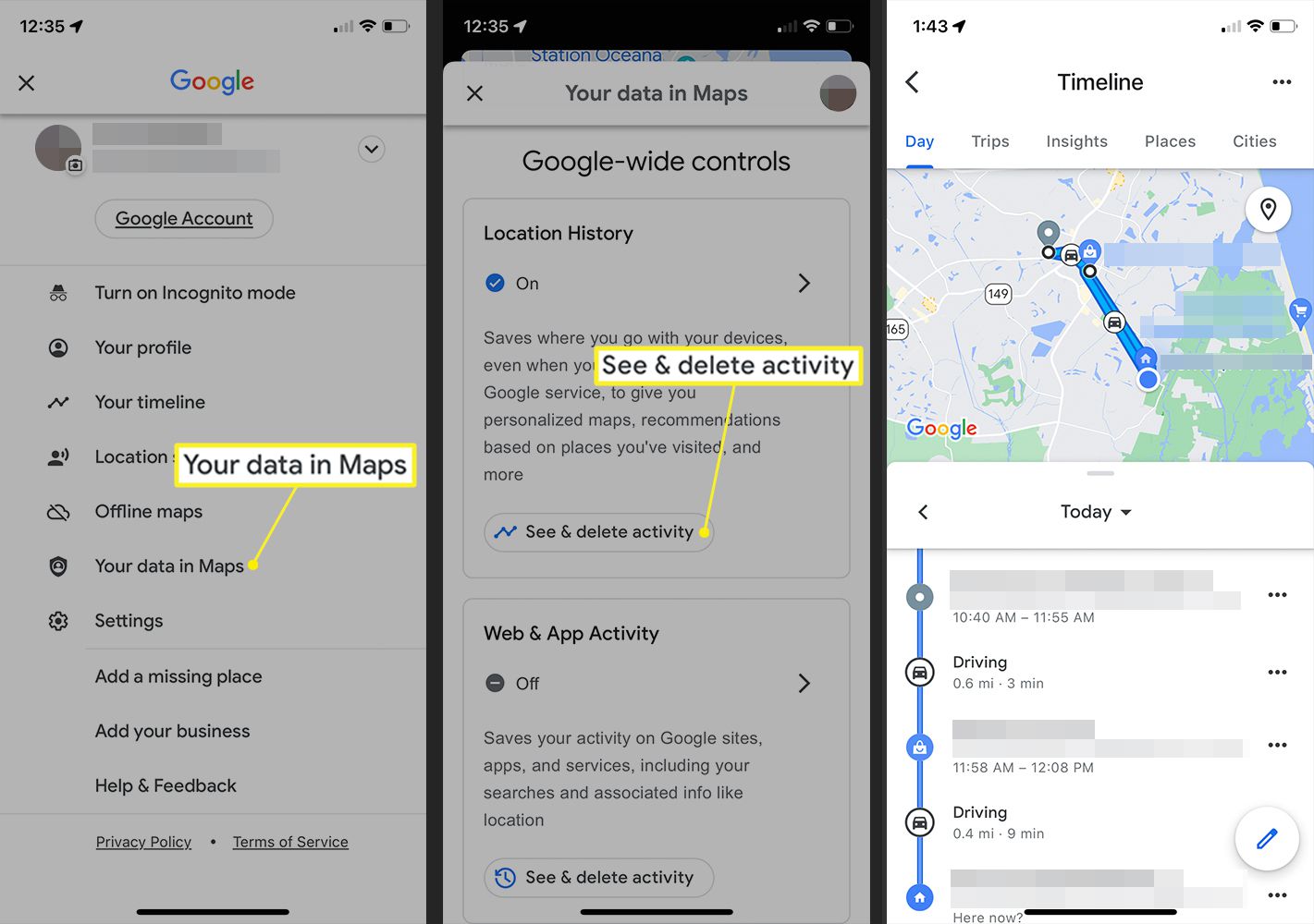
- Extracting Location Metadata from Photos
- Using Exif Data to Retrieve Location Information
- Accessing GPS Coordinates from Image Files
- Analyzing Location Data in Digital Asset Management Systems
- Conclusion
- FAQs
Extracting Location Metadata from Photos
Have you ever taken a photo on your smartphone and wondered where it was taken? Did you know that your photos can contain hidden location data, known as metadata, which can reveal the exact coordinates of where the photo was captured? Extracting this location metadata from photos can be a valuable tool for various purposes, such as organizing and categorizing your photos, geotagging them, or even investigating the whereabouts of a particular image.
One of the key methods to extract location metadata from photos is by utilizing Exif data. Exif (Exchangeable Image File Format) is a standard that stores metadata information within image files, including the GPS coordinates. This metadata is automatically embedded into the photo by your smartphone or digital camera at the time of capture.
To access the GPS coordinates from image files, you can use various software programs or online tools. One popular option is to use Exif metadata viewers or editors, which allow you to extract and view the GPS coordinates from the photos. These tools provide a simple and user-friendly interface for extracting location information from your photos with just a few clicks.
Another way to analyze location data from photos is by utilizing digital asset management systems that have built-in location analysis capabilities. These systems can automatically process the metadata from your photos and display them on a map, allowing you to visualize the location of each photo. This can be particularly useful for photographers or travel enthusiasts who want to keep track of the places they have visited or showcase their geotagged images.
Extracting location metadata from photos can open up a whole new level of organization and exploration. Whether you want to organize your photos based on location, create personalized travel maps, or simply satisfy your curiosity about the exact whereabouts of a specific image, extracting location data from your photos can be an incredibly helpful tool. So, next time you take a photo, remember that there may be more to it than meets the eye, and the captured memory might come with a hidden treasure trove of location information.
Using Exif Data to Retrieve Location Information
Have you ever wondered how to find out where a photo was taken? Thanks to Exif data, it is possible to extract location information embedded in the image file. Exif, short for Exchangeable Image File Format, is a standard for storing metadata in image files captured by digital cameras and smartphones.
This metadata includes various details about the photo, such as the date and time it was taken, camera settings like aperture and shutter speed, and most importantly, GPS coordinates that pinpoint the exact location where the picture was captured.
Retrieving location information from Exif data can be incredibly useful, especially for travel enthusiasts, photographers, and those curious about the places behind the captivating images they come across online. It allows users to discover the whereabouts of a photo without having to rely on captions or search engines.
To access location data stored in the Exif metadata, you can use specialized software or online services designed for this purpose. These tools extract the GPS coordinates recorded in the photo’s Exif data and convert them into readable geographic information, such as the city, address, or even specific landmarks.
One popular way to retrieve location information from Exif data is through Exif viewers or photo management software. These programs, available both online and as standalone applications, analyze the metadata of image files and provide a user-friendly interface to view and extract the desired information, including the location where the photo was taken.
Another method is to use online Exif data viewers or dedicated websites that offer location extraction services. These platforms allow users to upload their photos and extract the location data with just a few clicks. Some even provide additional features like mapping the location on Google Maps or sharing the results with others on social media.
It is important to note that not all photos have location data embedded in their Exif metadata. Some cameras or smartphones may not support GPS tagging, or users may intentionally disable this feature for privacy reasons. In such cases, extracting location information from Exif data may not be possible.
To summarize, Exif data provides a treasure trove of information about photos, and retrieving location information is just one of its many applications. Whether you want to relive your memories or satisfy your curiosity, using Exif data to retrieve location information can add a new level of depth and appreciation to the photos you come across.
Accessing GPS Coordinates from Image Files
Have you ever wanted to know exactly where a photo was taken? With the right tools, you can access the GPS coordinates embedded in image files to pinpoint the exact location. This can be especially useful for photographers, travelers, and hobbyists wanting to document their adventures or remember special moments.
To access GPS coordinates from image files, you need to extract the Exif (Exchangeable Image File) data. Exif data is metadata that is embedded within the image file and contains information about the camera settings, date and time, and even the GPS location where the photo was taken.
One way to extract the GPS coordinates is by using image editing software such as Adobe Photoshop or Lightroom. These programs allow you to open the image file and access the metadata. Once you have the image file open, you can navigate to the metadata section and look for the GPS information. The GPS coordinates will be listed as latitude and longitude values.
If you don’t have access to image editing software, there are also online tools available that can extract GPS coordinates from image files. Websites like Exifdata.com or Exiftool.org provide a simple and user-friendly interface where you can upload your image file and retrieve the GPS information.
Another option is to use mobile apps that can read Exif data directly from your smartphone. There are various apps available for both Android and iOS devices that allow you to access the GPS coordinates of your photos. Simply install the app, select the photo you want to extract the GPS data from, and the app will display the latitude and longitude information.
Once you have obtained the GPS coordinates, you can use them on mapping software or GPS devices to visualize the exact location. This can be particularly helpful if you are planning a trip to a specific location, as you can explore the surrounding area or find nearby points of interest.
It’s important to note that not all photos have GPS information embedded in their Exif data. This depends on the camera or smartphone used to capture the image. Additionally, some users prefer to strip the metadata from their photos for privacy reasons. In these cases, accessing GPS coordinates may not be possible.
Analyzing Location Data in Digital Asset Management Systems
Location data can provide valuable insights and context to digital assets. In digital asset management systems, analyzing the location data embedded in photos can enhance the organization, searchability, and discoverability of assets.
With the advancement of technology, digital cameras and smartphones now have the ability to capture and store location information along with each photo. This embedded metadata, known as Exif data, includes GPS coordinates that pinpoint the exact location where the photo was taken.
By extracting this location data, digital asset management systems can automatically categorize assets based on their geographic location. This enables users to quickly search for photos taken in specific areas, making it easier to find the right assets for various projects and campaigns.
Moreover, analyzing location data in digital asset management systems allows for effective asset distribution and rights management. For example, if a company has a collection of photos taken in different regions or countries, they can easily navigate and identify the assets suitable for specific regional campaigns or marketing materials.
Another benefit of analyzing location data is the ability to track and monitor the usage of assets across different geographic regions. This helps organizations understand which assets are most popular in different areas, and refine their marketing strategies accordingly.
In addition to internal use, analyzing location data can also be valuable for businesses that need to comply with regulatory requirements. For instance, companies operating in specific industries such as real estate or tourism may need to showcase assets from different locations to meet legal or licensing obligations.
Furthermore, the analysis of location data can aid in identifying patterns and trends. By analyzing the geographical distribution of assets, businesses can gain insights into consumer behavior and preferences from different regions. This information can be used to adapt marketing strategies, target specific regions, and make data-driven decisions.
Overall, incorporating location data analysis into digital asset management systems offers a host of advantages. From efficient asset organization and searchability, to targeted marketing and compliance, leveraging location data can enhance business operations and maximize the value of digital assets.
Conclusion
In conclusion, pulling location data from a photo can be a powerful feature with various applications. Whether you want to remember where you took a memorable vacation photo, analyze patterns in your photography habits, or use it for investigative purposes, extracting location information from images is both practical and fascinating.
With the advancements in technology and the availability of metadata embedded in photos, it has become easier than ever to obtain GPS coordinates, geolocation data, and location details from the images we capture. By utilizing software tools, online platforms, or even scripting, you can effortlessly extract this information from your images.
Remember to always respect privacy concerns and obtain necessary permissions when working with location data. Additionally, be mindful of the potential risks associated with sharing location information and take appropriate precautions to protect your personal privacy.
So go ahead and explore the world of location data embedded in your photos. Unlock the hidden stories and memories behind each image, and discover a new dimension to your photography experience.
FAQs
1. Can I extract location data from any photo?
Yes, you can extract location data from photos that are geotagged. Geotagging is the process of adding GPS coordinates to a photo’s metadata, which allows you to determine the precise location where the photo was taken.
2. How can I check if a photo has location data?
To check if a photo has location data, you can view its metadata. This can be done using various tools or software, including photo editing software like Adobe Photoshop or online platforms that provide metadata analysis. Look for the GPS coordinates or location information in the metadata to determine if the photo has location data.
3. What tools can I use to extract location data from a photo?
There are several tools available that can help you extract location data from a photo. Some popular options include Exiftool, GeoSetter, and Geosetter Online. These tools allow you to access the metadata of the photo and extract the GPS coordinates or location information embedded in the image.
4. Why would I want to extract location data from a photo?
Extracting location data from a photo can be useful for various purposes. It can help you remember the exact location where a photo was taken, especially if it was a special or memorable place. Additionally, location data can be valuable for organizing and categorizing your photo collection or sharing travel experiences with others.
5. Is it possible to remove location data from a photo?
Yes, it is possible to remove location data from a photo. If you are concerned about privacy or do not want others to access the location information of your photos, you can use photo editing software or online tools to strip the GPS coordinates or location data from the photo’s metadata.