




Getting started with maps and navigation settings
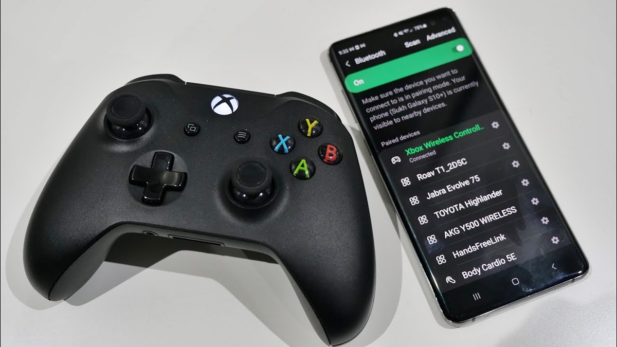
Before you dive into maps and navigation settings, it helps to understand that the location dot on your screen relies on a global navigation satellite system. Your phone combines that data with Wi‑Fi and cellular signals to pinpoint where you are standing. If you plan to use Google Maps as your main guide, open the app and spend a moment learning the basic gestures. Tap and drag with one finger to pan, twist two fingers to rotate the view, and double‑tap to zoom. On an iPhone you cannot make Google Maps default on iPhone at the system level, but you can improve the handoff. Inside apps like Gmail, open the app’s own settings and look for a “Default apps” or “Navigation” option that lets you send addresses straight to Google Maps instead of Apple Maps. While you are exploring, avoid confusion by leaving Bluetooth discoverable mode switched off unless a car or accessory specifically asks for it. Navigation does not require your device to be visible to others. If you have recently upgraded a Pixel or another supported phone, you may find navigation preferences tucked under a new 'Connected devices' or 'Location' header rather than the older layout. For a complete overview of the latest changes, read everything you need to know about Google's update.
Customizing your display and units
Your phone listens for those signals and triangulates where you are standing, a process that works best with a clear view of the sky. Tall buildings, dense tree cover, and even heavy cloud layers can weaken the connection and make the dot drift or stall.
Give the system a moment to lock on when you first open the map, and standing still helps. If the dot keeps wandering, walk to an open area away from walls and wait for the accuracy ring to shrink; the smaller that ring, the more confident your phone is about your true location.
Once the fix is solid, the map can guide you reliably, but the raw satellite data is only the starting point. Each navigation app layers its own settings, filters, and visual rules on top of that position, so tweaking the map to match your eyes means opening the menu inside that specific app rather than hunting through the phone’s main settings.
Inside Google Maps, for instance, you can enable Google Maps speed limit by tapping your profile picture, selecting Settings, and then Navigation, where the speedometer toggle lives under the driving-related options. The indicator will change color if you creep past the posted number, but the feature only appears when Speed Limits is available in your region.
Other visual adjustments are just as self-contained. If you want to change Celsius to Fahrenheit on Android phone, you will need to open the weather or navigation app you are using and locate its own unit or temperature preference, because Google Maps itself does not expose a raw temperature display to convert. Traders glancing at charts face a similar compartmentalized logic, and a view options chart on Thinkorswim mobile must be configured from within that app, completely separate from anything you have set in a mapping tool. The takeaway is that you should treat each app’s settings as its own island, checking the internal gear icon or profile menu whenever the numbers or visuals do not look right.
Setting routes and transportation preferences
Before you tap “Go,” decide how you want to move. Inside Google Maps on Android, you can change your starting location in Maps by searching for a destination, tapping Directions, and then tapping Your location at the top of the screen. On an iPhone or iPad, Apple Maps remembers your preferred travel mode once you open the app, tap your picture or initials, select Preferences, then Maps Settings at the bottom, and choose your preferred travel mode. That is where you change your default transportation mode in Maps, choosing driving, walking, transit, or cycling. The measurement system is handled outside the app entirely. If you need to switch between miles and kilometers, you must leave Maps and visit Settings > General > Language & Region > Measurement System to change miles to km on iPhone Maps. Because each app operates as its own island, you can turn off Apple Maps suggestions without affecting how Google Maps or Waze propose routes. This keeps your lock-screen notifications clean. The vehicle icon that appears during navigation is similarly locked inside each service. Google’s documentation shows how to pick a transport mode, but it does not expose a design menu that lets you change car in Google Maps. A handful of quick, app-specific tweaks let you control the rest of the journey setup. The right choice depends entirely on which navigation tool you have open.
Managing voice, sound, and alerts
When you want spoken turn-by-turn directions, the controls live deep inside each app rather than in your phone’s main settings. On an Android device, you can change voice on Google Maps [step-by-step guide] by opening the app, tapping your profile picture or initial, and navigating to Settings, then Navigation settings, and finally Voice selection to pick a new language and voice. Waze keeps its audio preferences equally self-contained: open the app, tap Settings, then Voice and sound, and select Navigation guidance to choose On so prompts play through your speaker. If you use the app in the car, you can add Waze to Android Auto and then trigger navigation by saying “OK Google” or tapping the microphone icon on your car’s display. Many drivers also explore the best Waze tips and tricks to customize alert types for hazards and speed cameras, all toggled inside that same Voice and sound menu. For times when you need to understand a spoken reply instead of a map prompt, you can turn your phone into an interpreter with the five best translation apps, though the gathered official sources did not document specific interpreter features or a list of the best apps. Each of these apps manages its own microphone permissions and playback volume independently of your navigation tools.
Using specialized sensors and tools
Your phone contains sensors that go far beyond basic GPS, but accessing them requires opening the right app. On an iPhone, you can quickly check elevation on iPhone by opening the Compass app, where your current altitude appears at the bottom of the screen alongside your coordinates and bearing. For a stable directional reading, hold the device flat and align the crosshairs at the center of the compass. When you need to hang a picture or confirm a surface is true, you can use the compass and level app; the level function is accessible in iOS. Android devices may offer similar tools through manufacturer-specific apps or Google Maps, but no single official path is documented across all models. The compartmentalized logic extends to vehicle systems as well. If you drive a recent SUV, understanding what DAC on Toyota Highlander controls means recognizing that downhill assist is a dedicated off-road feature. It is completely separate from any phone-based navigation app you mount on the dash. Even connecting your phone to the car's display creates what is essentially a network bridge between two independent systems. Each retains its own settings for voice, units, and map display rather than merging into one unified console.
Fixing connection and compatibility problems
Your app preference lives inside a dedicated settings panel that stands apart from the main system controls, where you can pick a default navigation voice and set the app to avoid tolls or highways. These choices never migrate into the phone’s general language or region menus, as the two layers remain separate by design.
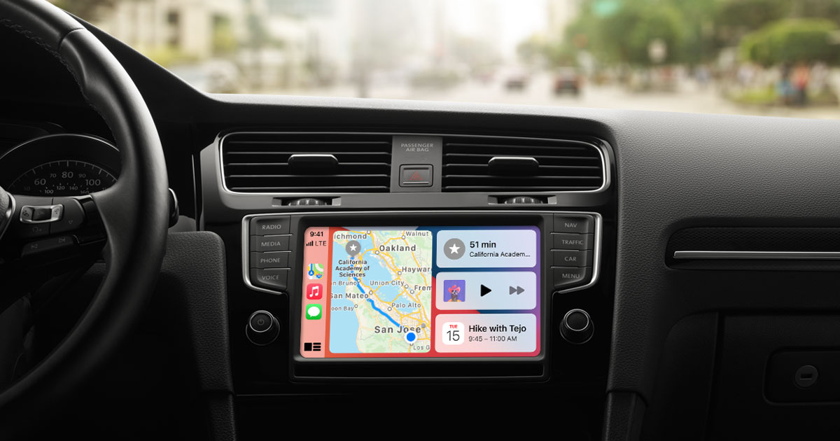
When your phone refuses to project onto your dashboard screen, the fix often lies in untangling two separate control panels that never fully merge. A driver asking why a 2018 Subaru Outback CarPlay iPhone recognition fails should first check the physical link by confirming the USB port bears a CarPlay or smartphone icon and swapping in an Apple-certified cable, then open the iPhone's Settings to verify Wi‑Fi stays on with Auto-Join enabled for the CarPlay network before selecting your vehicle under CarPlay settings.
Because the car screen only mirrors what the phone sends it, every voice prompt and measurement unit remains locked inside the app you launched, and adjusting your default map on the device never reaches the separate menus inside Google Maps or Waze. If the connection still stalls, Apple CarPlay not working? here are 13 easy ways to fix it points you toward toggling Bluetooth, forgetting the car, and reinstalling the latest iOS update. The same compartmentalized logic applies far beyond the dashboard, just as the procedure to change tire on Xiaomi scooter is a separate mechanical workflow that no mapping app will ever surface.
- Apple CarPlay not working? here are 13 easy ways to fix it
- 2018 Subaru Outback CarPlay iPhone 10 recognition
- change tire on Xiaomi scooter